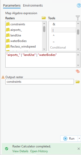
I want to combine 3 rasters (land use, water bodies and airports) into on raster with only two values 0 and 1 where the places of land use, wetlands and airports are = 0, otherwise = 1I used raster calculator with a simple expression using boolean OR |but I get an output raster with a scale from 0 to 255 and it's not appearing on the map."landUse" | "waterBodies" | "airports_" I'm trying to create a constraint map where these places are not suitable and others are suitable.
Image may be NSFW.
Clik here to view.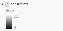
Edit:These are the values of the three rasters
Image may be NSFW.
Clik here to view.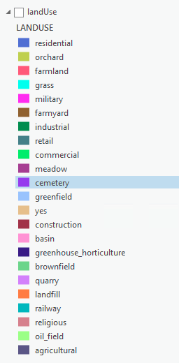 Image may be NSFW.
Clik here to view.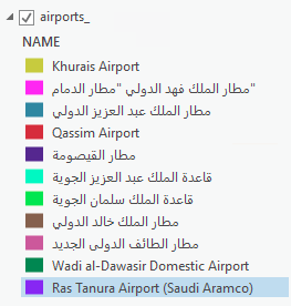 Image may be NSFW.
Clik here to view.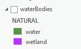 Image may be NSFW.
Clik here to view.